Where Will We Go?
The human consequences of rising sea levels
by Kadir van Lohuizen
Chapters
"For the past year and a half, I have been looking at the global consequences of rising sea levels caused by climate change. Today, no one any longer doubts that glaciers the world over are retreating, and even more worryingly that Greenland and Antartica are melting at an increasing pace."
Kadir van Lohuizen
The question: how fast is it going? It is alarming that past figures appear to have been too conservative and humanity should start preparing for the biggest displacement of mankind in known history. As people in all of the world’s regions become displaced at ever growing scales, the biggest question is: where will they go?
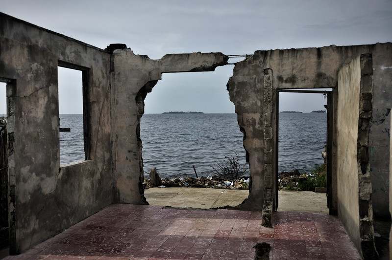
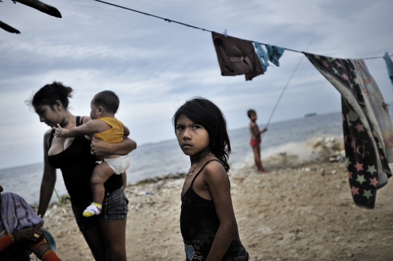
In my reportage I have tried to provide globally balanced coverage of how climate change is already affecting places where people live. I have traveled to Kiribati, Fiji, the Carteret Atoll in Papua New Guinea, Bangladesh, the Guna Yala coastline in Panama, the United Kingdom and the United States. In these different regions I not only looked at the areas that are affected or will be affected, but also where people will likely have to relocate to. I photographed and interviewed families who still partly live in affected areas and other family members who have already moved to safer ground. What is often forgotten is that before seas flood land permanently, the sea water intrudes much earlier at high tides, thus making once-fertile land no longer viable for crops and drinking water brackish and undrinkable.
Coastal erosion, inundation, worse and more frequent coastal surges and contamination of drinking water mean increasingly that people have to flee their homes and lands in a growing number of locales across the world. Almost no one with whom I have spoken wants to move; they simply have no other choice as conditions worsen.
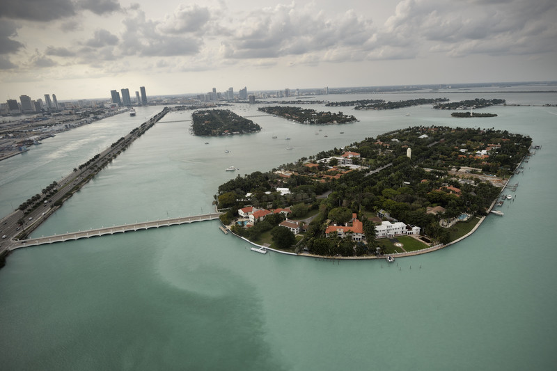
The human costs of these movements are dramatic in the extreme. Kiribati may be forced to relocate its entire poplution if things get much worse. In Bangladesh it is likely that up to 50 million people will have to move from the delta region by 2050 and nobody knows at this stage where they will go. Although often ignored by climate change campaigners, the US East Coast is experiencing three times faster rising sea levels than the global average because Western Greenland’s glaciers and ice are melting so quickly. Protecting cities on the eastern seaboard will require enormous financial resources. Miami is likely to be lost. The now propserous city is built on limestone, so seawalls will not protect the city, since the water will enter under the built seawall. Therefore, its expected that the Miami Beach and bay area need to be evacuated by 2060.
The Rising Sea Levels project is designed to highlight both the immense complexities associated with in-island and inter-island/country movement, as well as the specific human rights implications involved with such involuntary movements.
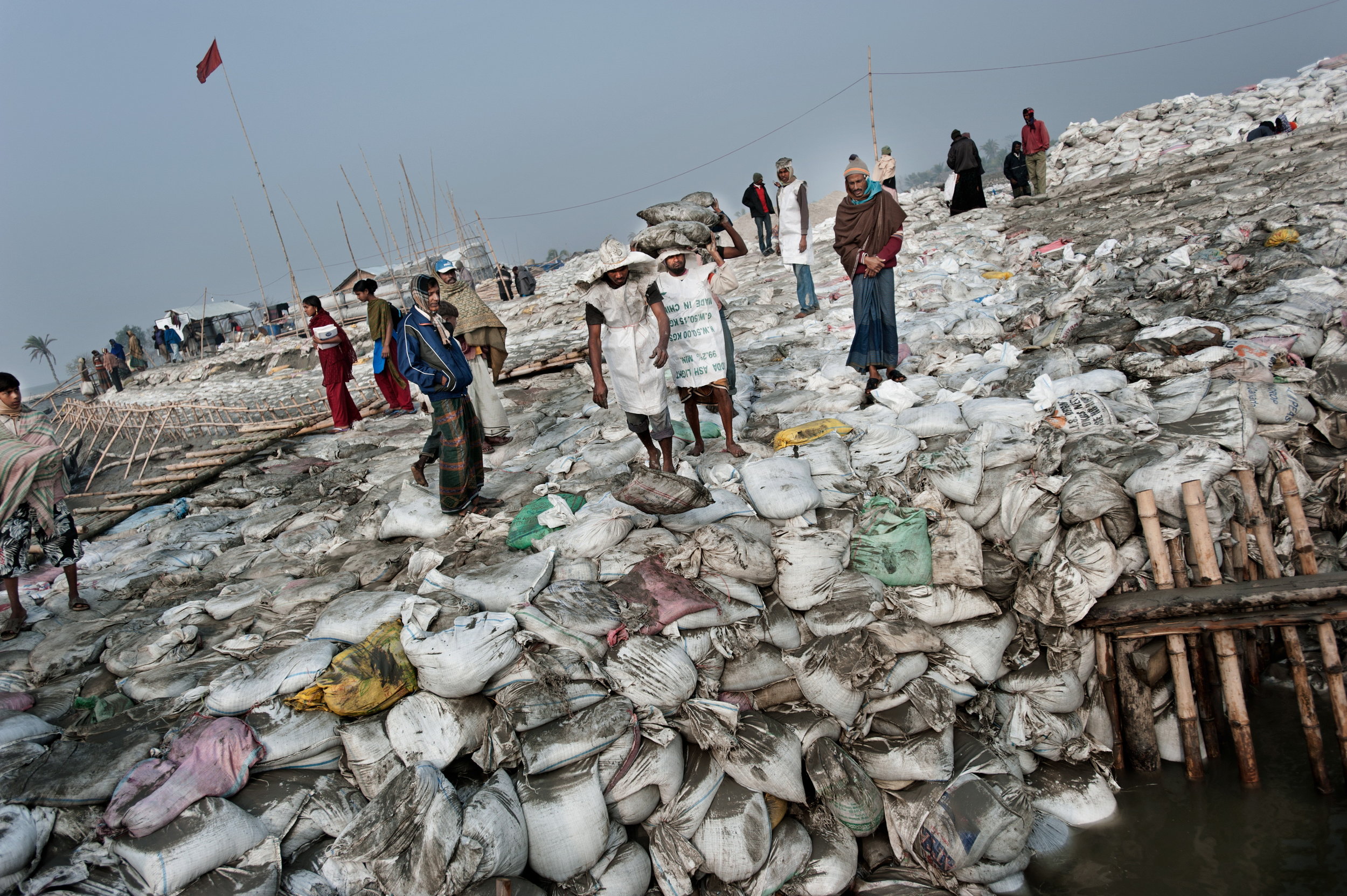
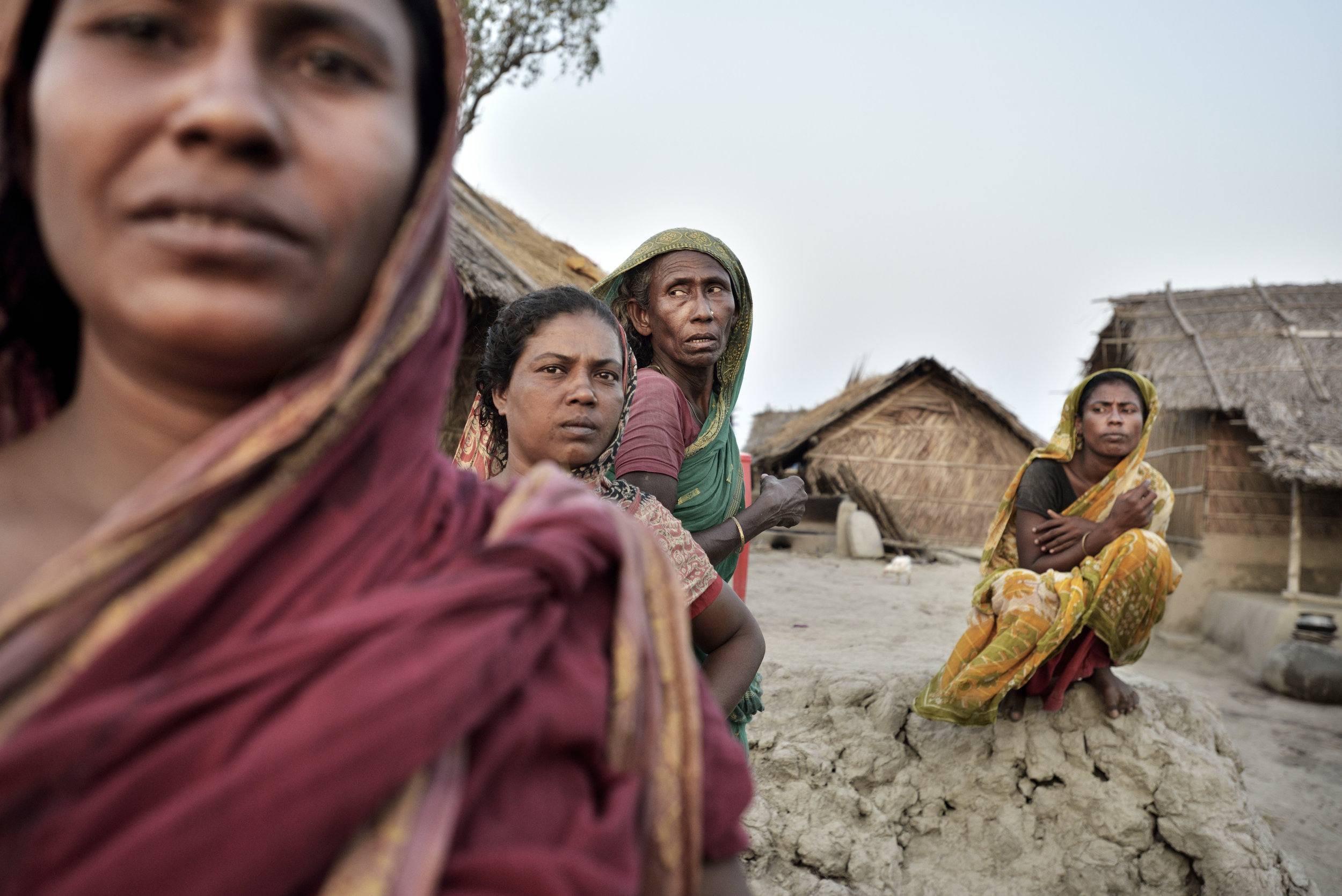
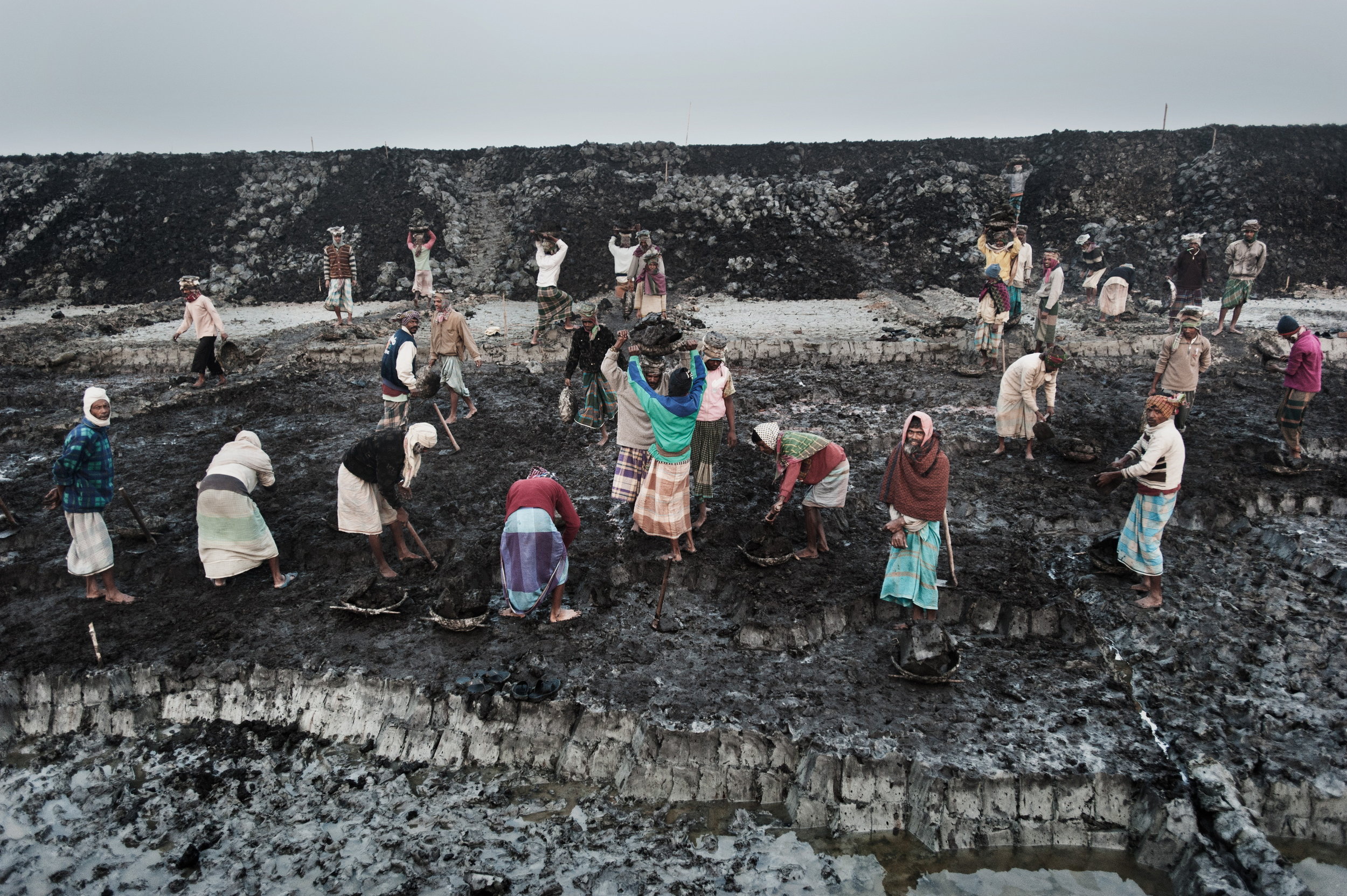
It is estimated that in the (near) future 50 million people need to be evacuated to higher grounds. Being so densely populated, land is already very scarce. Already an estimated 6.5 million people have been displaced already due to climate change.
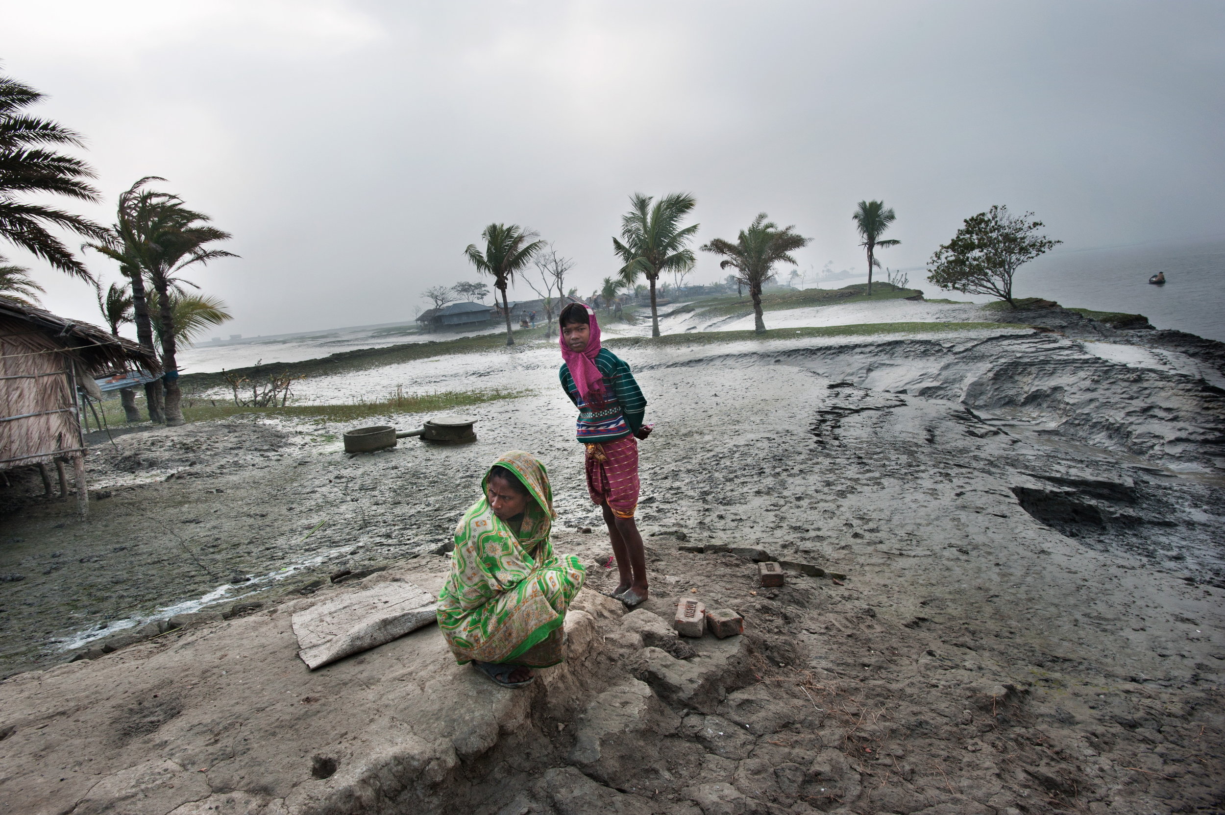
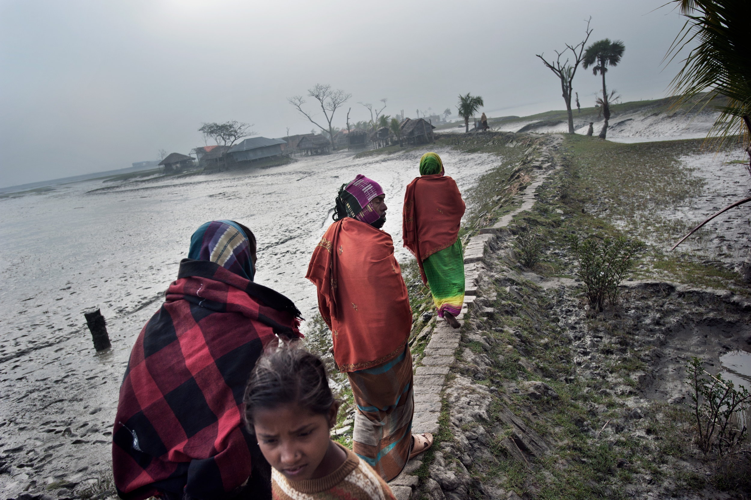
Bangladesh has known floods and cyclones for a long time. Usually when the water recedes, people can return to their homes and fertile land. Today the water often doesn’t recede.
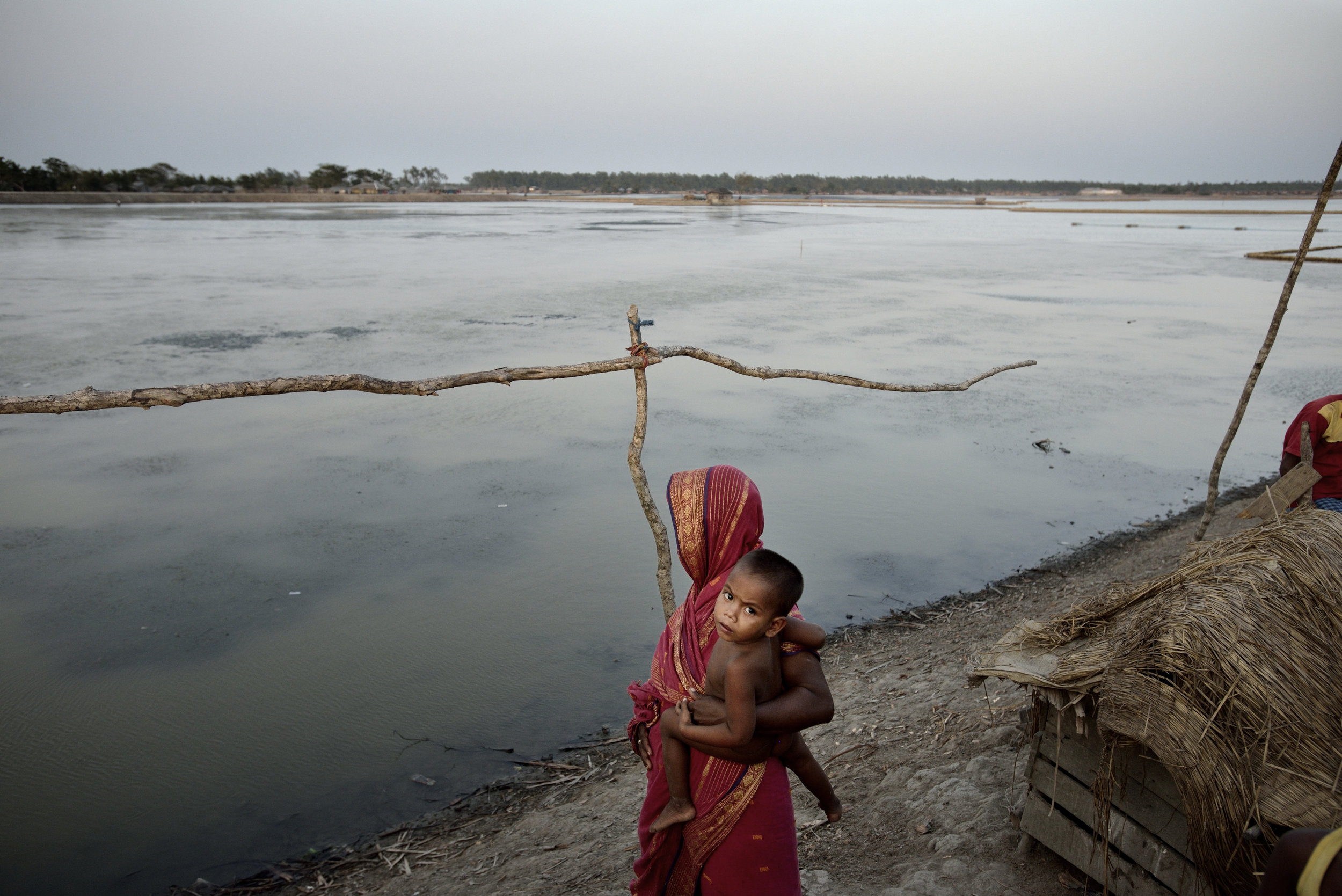
A combination of broken floodwalls and levees, storm surges and rising river waters caused extensive rainfall and melting Himalayan glaciers, keeps large stretches of land flooded or infertile due to seawater intrusion – leaving salt deposits and turning fresh water brackish.
Fiji
Fiji is an archipelago in the Pacific Ocean consisting of 332 islands of which 110 are permanently inhabited. The population is around 850,000.
The islands came into existence due to volcanic activity, therefore most of the land is mountainous. Nevertheless, Fiji is affected by rising sea levels and coastal erosion is widespread. Beaches are disappearing and a number of towns and villages will need to be evacuated to higher grounds.
Low-lying countries like Tuvalu and Kiribati are looking at the possibility of evacuating their people to Fiji. The government of Kiribati has recently purchased 6000 acres of land from the Anglican church. Officially this will be used to grow crops for the people of Kiribati, but could in the future very well be the area where Kiribati will relocate to.
Kiribati
The Republic of Kiribati (pronounce Kiribas) in the Central Pacific Ocean consists of 32 low-lying atolls, dispersed over an area of the size of India. The population of Kiribati is 100,000, of which more than half currently live in the capital Tarawa.
Globally, Kiribati is one of the countries most affected by rising sea levels. Part of the atolls are being protected by seawalls and people protect their communities with sandbags. At high tide large areas experience sea water intrusion. This intrusion also affects the availability of fresh drinking water and the availability of land to grow crops.
Sea level is expected to rise, caused not only by the melting of ice caps and glaciers, but also because sea water expands when it warms up. The impact of storm surges and coastal erosion are already very visible. It is very likely that the whole nation will need to be evacuated and will be completely unlivable in 30-60 years, which means the entire population will become stateless. For this reason the government of Kiribati recently purchased a piece of land in Fiji.
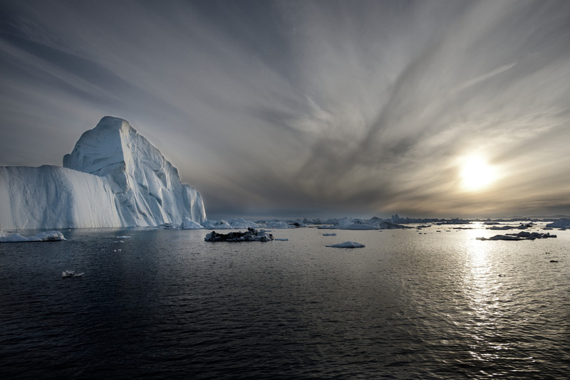
If the entire Greenland icecap melts, oceans would rise by 7 meters on average.
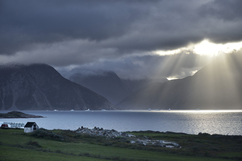
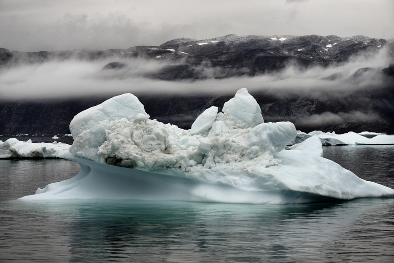
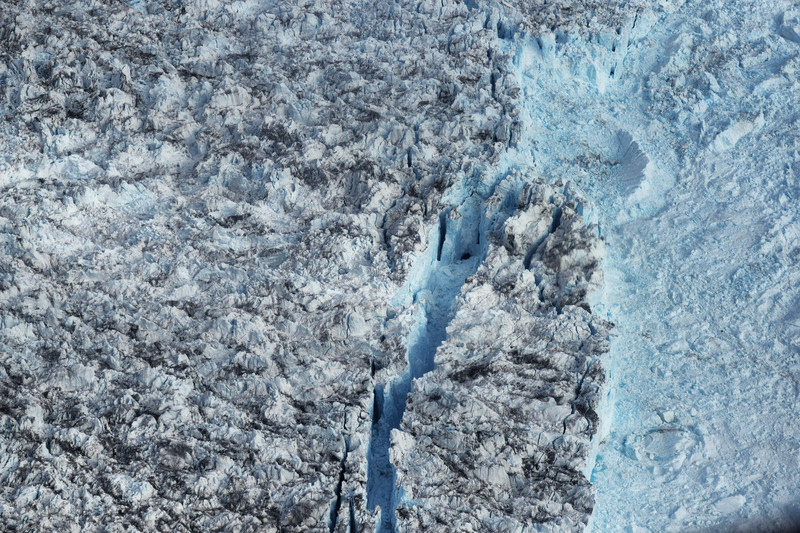
The main reason for the world’s rising sea levels is the melting of Greenland’s ice cap and glaciers, occuring at an unprecedented speed.
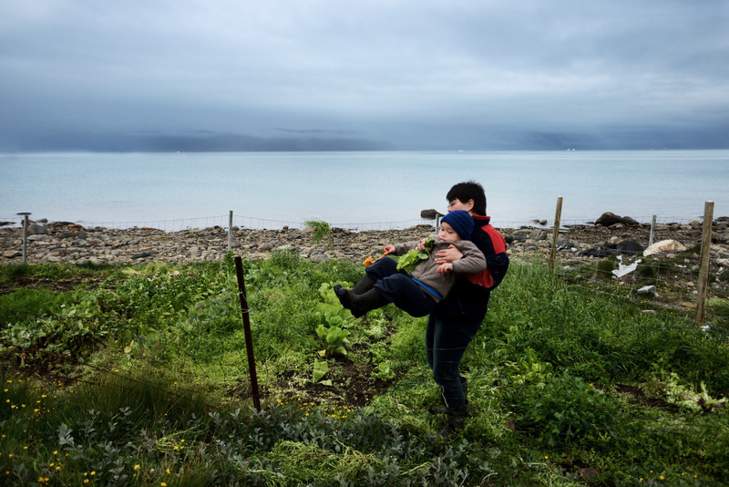
For the people in the south of Greenland, this is actually good news: due to the absence of snow and ice they can grow crops now – potatoes, unions, salad and even strawberries. People hope this will make them less dependent on Danish imports and that food prices would decrease.
In the north of Greenland it is a different story; here sea ice is disappearing and glaciers are retreating at a fast speed. In 2012 there was an extreme melting event where almost 100% of the icecap melted at the surface. On average, the summer melt currently lasts 70% longer than it did in the early 1970s. If the entire Greenland icecap melts, oceans would rise by 7 meters on average.
For traditional hunters life has become difficult and (sea) animals are facing difficult times trying to survive in this changing environment.
Jamaica, Seychelles & Grenada
The Small Island Development States (SIDS) are on the forefront of climate change and are most vulnerable to rising sea levels. For instance, the land in countries such as Kiribati and the Maldives is not more then two metres above sea level.
Grenada, Jamaica and the Seychelles may seem to be in a better position due to the fact that they are mountainous, but their coastal regions serious threat. These are the areas where infrastructure and economic assets are at stake – cities, towns, airports, seaports, oil storage, generators, etc.
Islands in the tropics are often protected by coral reefs, which are also crucial ecosystems. Over the years many reefs have died or deteriorated. Reasons for this include the effects of El Nino, dynamite fishing, warming seas – which often results in bleaching of the reefs, etc. With rising sea levels, these coastal areas are therefore eroding faster then ever.
Mangroves are just as crucial as reefs. Over the years many mangroves have disappeared due to coastal development, pollution and rising seas. Mangroves can be grown in nurseries, but it takes a long time before the plants have a considerable size.
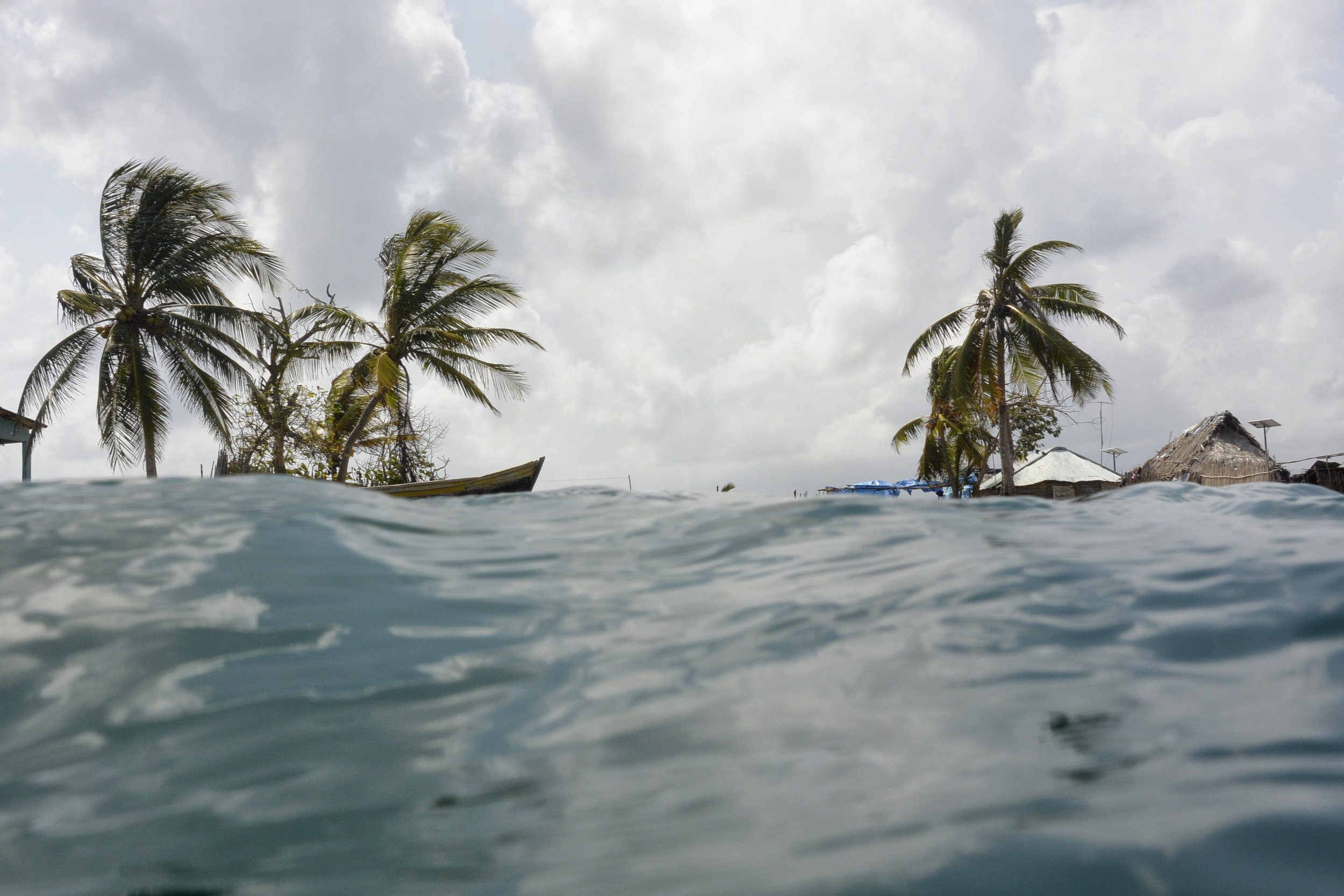
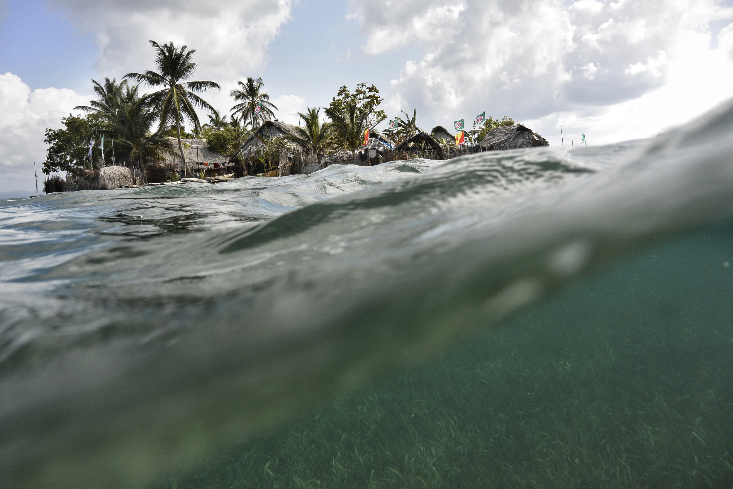
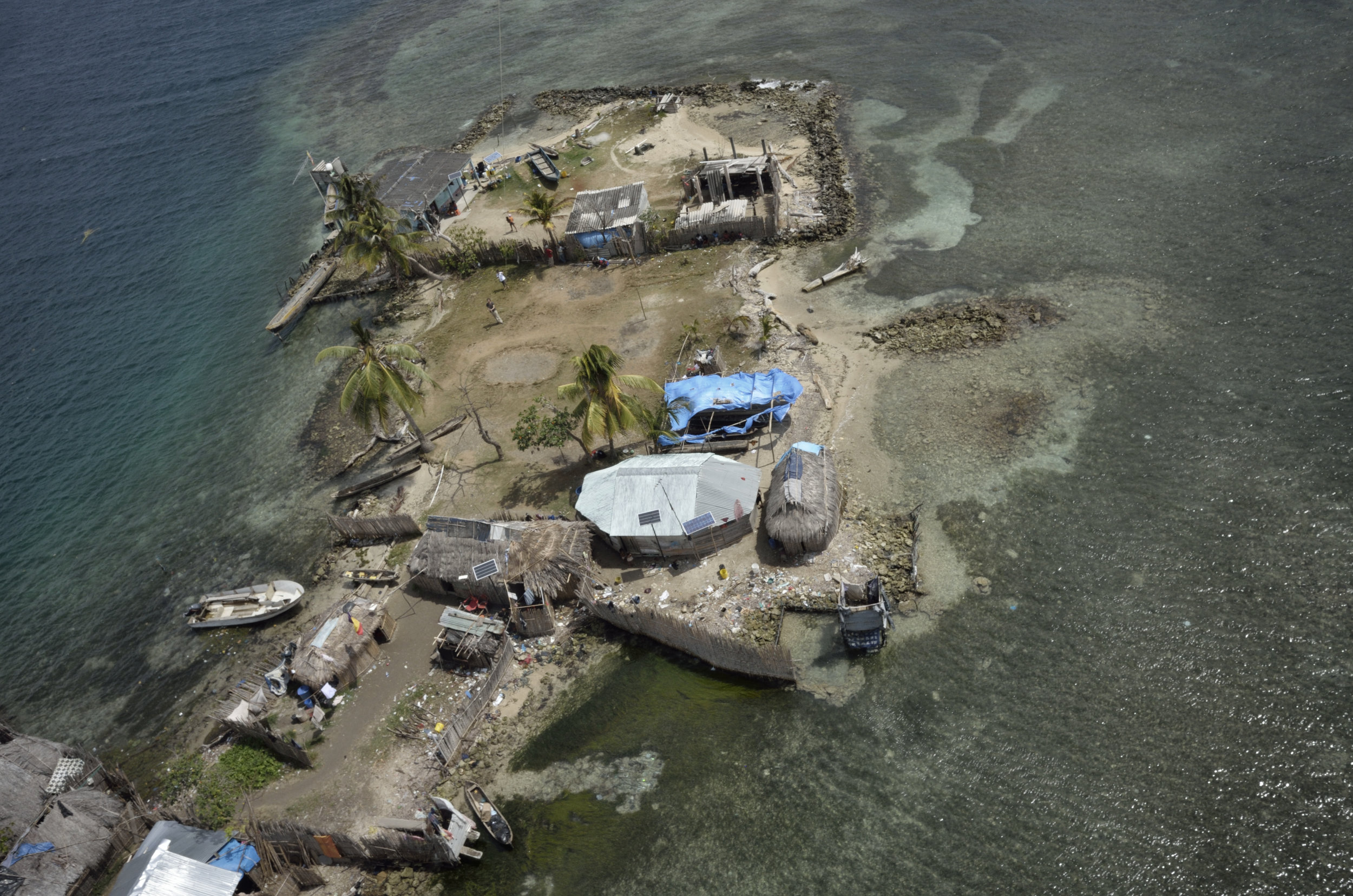
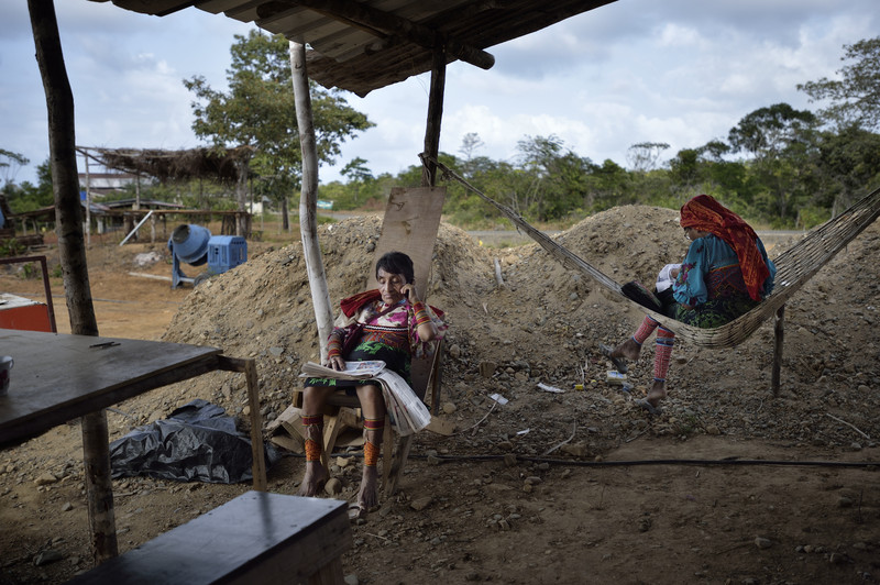
Based on current projections of sea level rise, the Guna Yala Islands (Panama) could be underwater in only 20-30 years.
Guna Yala is an autonomous indigenous region of Panama with a population of around 30,000 people. Guna Yala consists of an archipelago of 365 islands (the majority of which are uninhabited) and a strip of mainland.
Due to the rising sea level the chances of storm surges and flooding have increased dramatically over the years. Therefore life becomes risky in some of the overpopulated islands. The government planned to evacuate the first four islands in 2013, but the funds to do so disappeared and the people still remain where they are.
When people will relocate they will have to learn to become farmers, whereas now they work primarily as fishermen.
Papua New Guinea
Papua New Guinea is the eastern part of the island New Guinea and consists of numerous offshore islands. Although the population is only just over 6 million, more then 800 languages are spoken.
The offshore islands are under direct threat of the rising sea levels, among them are the Carteret atolls. The situation is so urgent that people are starting to evacuate themselves to Bougainville, a bigger island some 60 miles away. The government promised to coordinate the relocation and pay for it, but so far nothing has happened.
There is no food on the Carterets anymore due to the seawater intrusion, which disables people from growing crops, and there are no wells available with drinking water.
United Kingdom
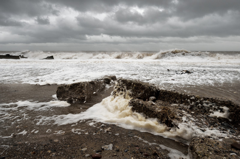
The coast of Yorkshire’s East Riding faces the fastest coastal erosion in Europe, presently accelerated by the rising sea level.
On average, every year two meters is lost to the sea.
Over the decades, tens of villages have disappeared into the sea. The government has now given up on the area, apart from a few towns which are fortified with seawalls and will end up as islands.
People are urged to relocate to safer grounds. Since there is hardly any compensation and homeowners basically lose their homes, many resist and want to stay until the last moment. As one resident said: “I will only move feet first, which is in my coffin.”
The United States' East Coast is experiencing three to four times higher rising sea levels than the global average.
It was only fairly recently that scientists discovered that ice has a gravity that pulls water towards it. When ice melts it contributes to the already rising sealevel. Because Western Greenland’s glaciers and icecap are melting quickly, the east coast of the USA experiences this sharp increase. Thirty-nine percent of the US population lives in coastal areas and generates half of the US GDP. If nothing is done, the US economy will be affected on a scale never seen before.
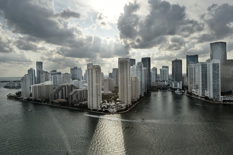
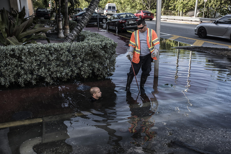
Miami is currently the most endangered city, built on very low, mostly swamp land. What makes the city most vulnerable is the fact that it is built on limestone. Many engineers have worked on a masterplan to protect the city, but so far all of them concluded that it is not possible. Limestone is porous, so whatever you build on it, water will seep through. It is believed that the Miami beach and bay area should be evacuated by 2060. Nevertheless, 32 condo towers are planned for construction on Miami Beach. In November 2013 Miami established a task force on sea level rise which is looking into the issue.
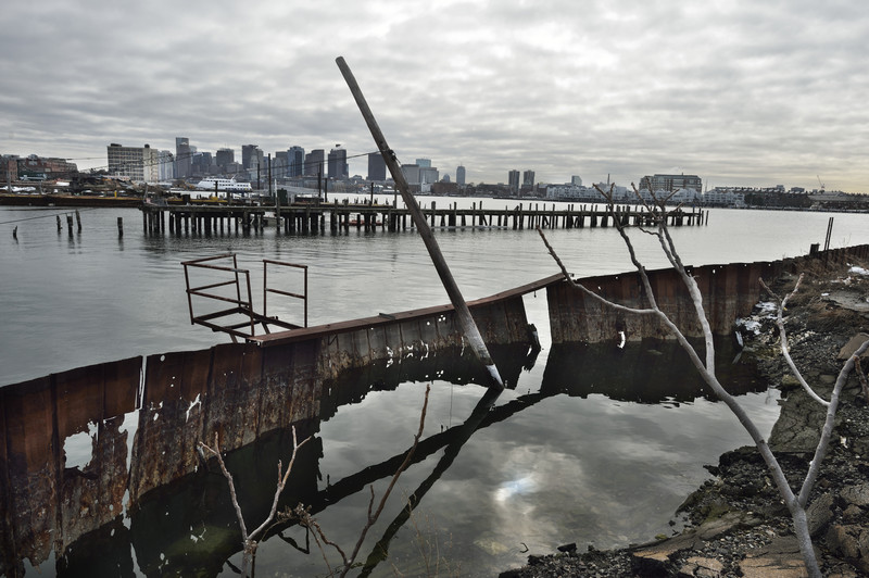
Boston, on the contrary, has been aware of the situation for a longer time. Nevertheless the downtown area, financial district and the waterfront are at serious risk. Each winter the coastline north and south of Boston are more and more affected by ever more severe winter storms. In combination with rising sea levels, the coast and beaches are eroding faster than ever.


